TRAIL DAY 77
Sat, May 7, 2016 I had breakfast at a nearby restaurant while others went farther up the way to Hardee’s for their morning fare. Wonder and another wanted to share the shuttle back to the trail. We had agreed on a 10:00 a.m. departure.
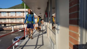 A more typical AT thru-hiker and the fellow from Trent’s with the dog departed earlier and, as always, we, competitive and egoistic beings, instinctively compared our course to theirs until, per force, we simply let it go for HOOH (hike our own hike).
On rewrite, I am realizing what an important lesson HOOH is. Isn’t everything we do really between us and God, the keeper of and guide into the unknown. I’ve heard it said, “Just be yourself; everyone else is taken.” Maybe we have to relearn that time and time again.
Breakfast over, packed, dog ready, we waited on the shuttle which soon came and took us to the road-trail intersection.
We didn’t need the wipers on the way back. Such shuttle troubles were not uncommon. Bless each and every driver dealing with such issues to make a few bucks and render a service to thru-hikers.
 A couple of use split the $10.00 fee before it was once again boots to the ground.
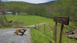
I remember so well the trek over the graveled Pocahontas Road on private property. It was not long before we turned off this road to our left and into the woods.
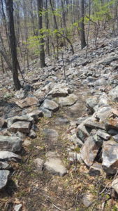
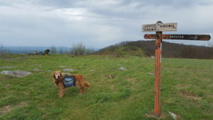 The trail was getting a little rockier as we ascended to Rice Field Shelter where I pulled off for lunch. The shelter looked from the edge of woods into a field of green grass. I think I was the first to arrive and soon several others picked this spot for lunch as well. Needless to say, they all were about 50 years younger than me. One couple walked into the field and set up on the grass with a view north and west for lunch. I went out to see what they could see and came back to eat. The trail would soon continue past their lunch spot and a sign indicating West Virginia to the west and Virginia to the right.
West Virginia. This was a first and I wondered how accurate the sign was since it seemed West Virginia would be a long way off.
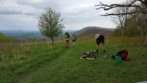 Nonetheless, I ate and then hiked out passed the sign and into and out of sparse woods until I came to a spot identified by AWOL as Simms Gap. I note this as the place I camped but a gap is low and I was on a ridge just shy of the gap I suspect. I stopped here because the weather was turning and it was 6:15 p.m. Soon Colin from Britain showed up and pitched his tent. He was 6’8″ or very close and from England. I told him I went to Aldenham School in Hertfordshire for a year, near Letchmore Heath. He thought for a moment and wondered if his grandfather hadn’t gone there. He vowed to check with his mother and let me know.
Colin used no trekking poles and hiked under the pressure of a visa expiration date. I long wondered how people without trekking poles managed. I found them invaluable for pushing my torso and its load up an incline and to sustain balance in many situations. Without them, my legs would have to work much harder as would become the case much farther north.
Colin and I got water at a mini pond south of our campsite where we had to fight briars to get to the supply. Farther north he would ask me what the red marks on his legs might me and I reminded him of this pond. He was in shorts at the time.
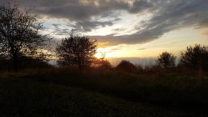
I set up my tent just south of his on the right side of the trail and before long Justice showed up and set up across form us on the west side. As evening drew on the sun shone though clouds as a mild wind ruffled our tent flaps in a light rain.
Day #77 Pearisburg > Crest before Simms gap 11.8 miles
