TRAIL DAY 110
 Thu, June 9, 2016 Today – Harpers Ferry and the Appalachian Trail Conservancy (ATC) – the psychological midpoint on the trail.
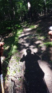
We were underway in bright sunlight at 8:20 a.m. when I took a picture of my shadow with my camera in my chest strap.
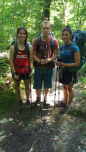
I have a lot of names in AWOL for this stretch: John & Lori; “Olive Oil;” “Sasquatach” and “Boss;” “Bad-Hang” (bear bag). I’m not sure who’s who. But I remember a short, spunky gal in in a red Cornell tank top with a British couple. I had seen her before, near the 1000-mile marker and saw her several times after that. I’d also seen the couple a few times along the stretch before Harpers Ferry.
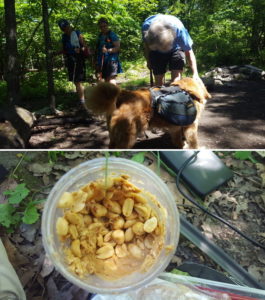
Three southbound middle-aged women took to Theo in a heartbeat. I conserved space by putting loose peanuts in a peanut butter jar and made a wrap of the combination. As I was enjoying lunch while charging my phone, Smoky showed up. I think if I were to assign him a trail name it would be “Dangles” for all the stuff hanging off his pack.
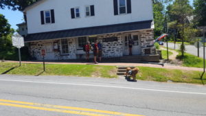
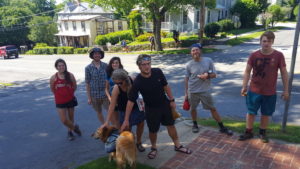
As I descended into Harpers Ferry, I met a couple with their daughter. I took their picture and they offered to take mine.
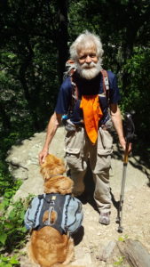
The bridge over the Potomac led to a steep trail and then steep steps up to the ATC. At the top of the hill, Smoky was trekking onward. I admired his effort, carrying a heavy body and a heavy, overstuffed pack.
Soon the iconic ATC was in view. Hikers register here and have their picture taken out front. The hiker writes identifying information on the photo and it is then put in a notebook that the ATC keeps for each given year.
The Appalachian Trail is what the ATC is all about. It was a wonderful place to hang out. I helped myself to snacks lying around while I sat on a couch and debated if and where I should stay in town. I looked around and perused maps, photos and books, all focused on the AT or hiking. Maybe someday, I’ll have a book on their shelves.
There were many posters throughout the facility with sayings, some worth noting:
Enlightenment begins where the pavement ends.
It is not the mountain we conquer but ourselves.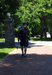
The journey is the destination.
In all things of nature there is something of the marvelous.
I’m not there yet, but I’m closer than I was yesterday.
I had met John at the front desk on the way in and Lori later. Everyone was there to be helpful and were happy to engage in conversation. Lori seemed particularly eager to impart the wisdom she’d gleaned from years on the trail, fostering its health and respectful use.
“I’ve lost 25 pounds,” I told her.
“Oh, you’ll lose more in the Whites,” she said without hesitation and with a certainty that required no skill at prophesy.
Staying in town was complicated and pricy so I decided to move on. We passed Jefferson Rock where Thomas Jefferson used to like to sit and think watching the Potomac flow by.
I did a quick tour of Harpers Ferry, took pictures of monuments and descriptions as well as of a fellow I met outside an historic church – well, everything in Harpers Ferry’s historic, ain’t? I took particular note of a building that served as John Brown’s stronghold in 1859, 100 years before I graduated from Mount Hermon. I don’t suppose he had any premonition of that event.
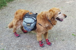
I crossed the Potomac on The Byron Memorial Footbridge adjacent to a railway bridge and emerged in Maryland for a 3-mile stretch of the C&O Canal Towpath. The slimy canal ran between the Towpath and the railroad right of way. Given the length of the walk, I put Theo’s boots back on, a time-consuming proposition. I think it would be easier to push a wet noodle from behind.
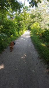
Theo followed me most of the time on the path and I would look back to check on his boots. They seemed to be holding. However, about half way a biker passed me and stopped to say he thought the dog might have lost a boot. I noted the truth of his comment and thanked him, turning to go back. He said, “I’ll get it” and my thanks was all the more vigorous on his return.
A couple passed me in the last half of the path and I was sure they were long gone. Nonetheless, they stopped right near where the AT turned off the long gravel way, so I did see them again.
We left the path, crossed the tracks, turned left on a paved road which then forked right for a short distance until the trail turned right, into the woods and up a fairly steep 1000′ climb.
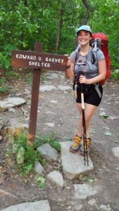 About a mile from the top was the turnoff to the next shelter. It was here that I ran into “Golly” who said she remembered me from Roan Mountain. It was always fun seeing someone you saw on the AT way back – even long ago. We promised we’d stay in touch perhaps each knowing this was one of those good intentions that has a home only in eternity.
There was a fellow at the shelter who seemed as if he could be up to no good. An older guy who didn’t seem to fit in or have a clear reason for being out here. But! He would prove harmless and nice.
AWOL says “water on steep 0.4 mile trail in front of shelter.” I must have had a sufficient supply because I never made that trek.
We all ate at the table on a fairly narrow porch in front of the double-decker shelter, the 2nd level accessed from the back. Golly sat catty-corner from me having ramen noodles. She said she had them every night for supper. She set up her tent north of the shelter and that was the last I saw of her.
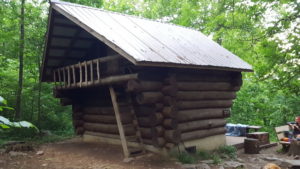
The “questionable” fellow slept at the north end of the shelter and I at the south. A young couple who I remember ate very well at dinner was in between and another couple up above. A young fellow slept on a bench just south of the porch.
Day #110 David Lesser Memorial Shelter > Ed Garvey Shelter 15.6 miles
